

Methodology
Harnessing Machine Learning to Pioneer the Next Generation of Climate Modeling
ClimateIQ harnesses Google Cloud to run traditional heat and flood simulations, which then become training data for machine learning models. These models learn correlations between the simulation’s inputs and outputs to predict climate hazard outcomes with less computational power than traditional physics-based simulations.
Methodology
Harnessing Machine Learning to Pioneer the Next Generation of Climate Modeling
ClimateIQ harnesses Google Cloud to run traditional heat and flood simulations, which then become training data for machine learning models. These models learn correlations between the simulation’s inputs and outputs to predict climate hazard outcomes with less computational power than traditional physics-based simulations.
Our Approach


Hybrid multi-hazard modeling
ClimateIQ combines physics-based hazard simulations with advanced machine learning to generate detailed climate risk information at scale.
Physics + AI:
Climate Intelligence at scale
Physics-based models simulate rainfall, runoff, and atmospheric dynamics, while machine learning reproduces these results more efficiently across large geographic areas.
Our Approach
Hybrid multi-hazard modeling
ClimateIQ combines physics-based hazard simulations with advanced machine learning to generate detailed climate risk information at scale.
Physics + AI: Climate Intelligence at scale
Physics-based models simulate rainfall, runoff, and atmospheric dynamics, while machine learning reproduces these results more efficiently across large geographic areas.
Our Approach
Hybrid multi-hazard modeling
ClimateIQ combines physics-based hazard simulations with advanced machine learning to generate detailed climate risk information at scale.
Physics + AI: Climate Intelligence at scale
Physics-based models simulate rainfall, runoff, and atmospheric dynamics, while machine learning reproduces these results more efficiently across large geographic areas.

Atmospheric Modeling
ClimateIQ uses a Weather Research and Forecasting Model (WRF) that accounts for urban processes like anthropogenic heat, heat storage, and radiation blocking. WRF models are standard for atmospheric modeling in complex urban environments and are commonly utilized by academic communities and government agencies. WRF is able to reproduce the distribution of temperatures in cities with higher accuracy than statistically corrected global models.
Atmospheric Modeling
ClimateIQ uses a Weather Research and Forecasting Model (WRF) that accounts for urban processes like anthropogenic heat, heat storage, and radiation blocking. WRF models are standard for atmospheric modeling in complex urban environments and are commonly utilized by academic communities and government agencies. WRF is able to reproduce the distribution of temperatures in cities with higher accuracy than statistically corrected global models.
Flood Modeling
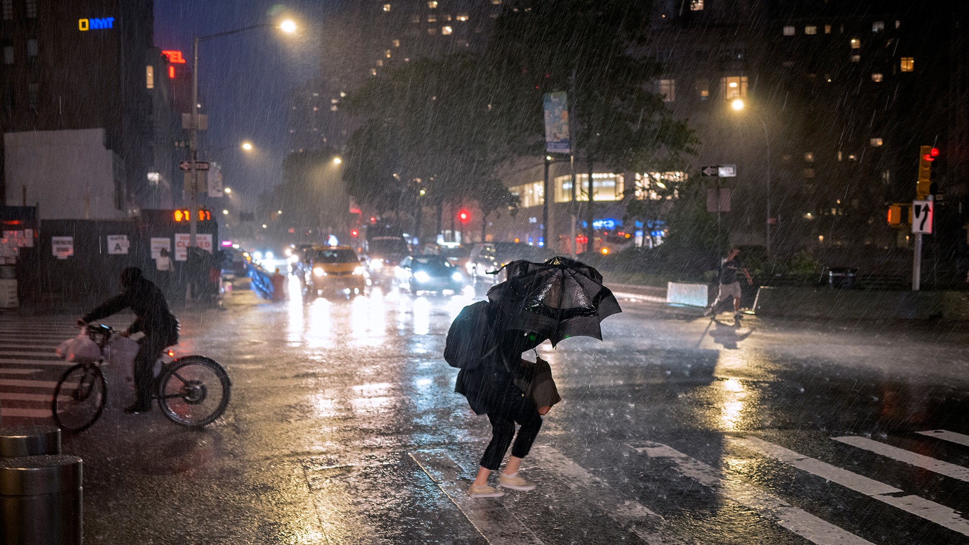
ClimateIQ utilizes CityCAT, a hydrodynamic model used to model urban flooding that simulates the flow of surface runoff at high resolutions. The model accounts for urban features like buildings and planted areas and simulates surface flow by iteratively solving shallow water equations to produce outputs such as flow speed, direction, and depth.
Flood Modeling
ClimateIQ utilizes CityCAT, a hydrodynamic model used to model urban flooding that simulates the flow of surface runoff at high resolutions. The model accounts for urban features like buildings and planted areas and simulates surface flow by iteratively solving shallow water equations to produce outputs such as flow speed, direction, and depth.
Leveraging Machine Learning to Reduce Reliance on Physics-Based Climate Modeling
To replicate flood simulation outputs, ClimateIQ uses a machine learning (ML) approach. For example, an ML model for flood predictions uses spatial features representing city morphology (e.g. elevation) and temporal features describing rainfall patterns to predict flood height at two meter resolution given a pattern of rainfall (aggregated up to 10m on the ClimateIQ dashboard). Our powerful and unique approach allows the ML model to learn from both spatial and temporal features.



Data
Open Data
We are actively working with our City partners and other stakeholders to obtain local municipal and regional datasets to further train and validate our model.
We are actively working with our City partners and other stakeholders to obtain local municipal and regional datasets to further train and validate our model.
Datasets used include:
Building Footprint Data
Land Cover/Land Use Data
Digital Elevation Model (DEM)
Soil Data
Meteorological Data
© 2026 ClimateIQ. All rights reserved.


© 2024 ClimateIQ. All rights reserved.